How Far Is La Fortuna from Arenal Volcano? Town, Park & Where to Stay
How far is La Fortuna from Arenal Volcano? For a visit to Arenal Volcano National Park, plan on roughly a 30-minute drive from downtown La Fortuna to the official entrance. This is a planning estimate, not a fixed journey time or the distance to the summit. Your accommodation, chosen entrance, traffic and road conditions all matter.
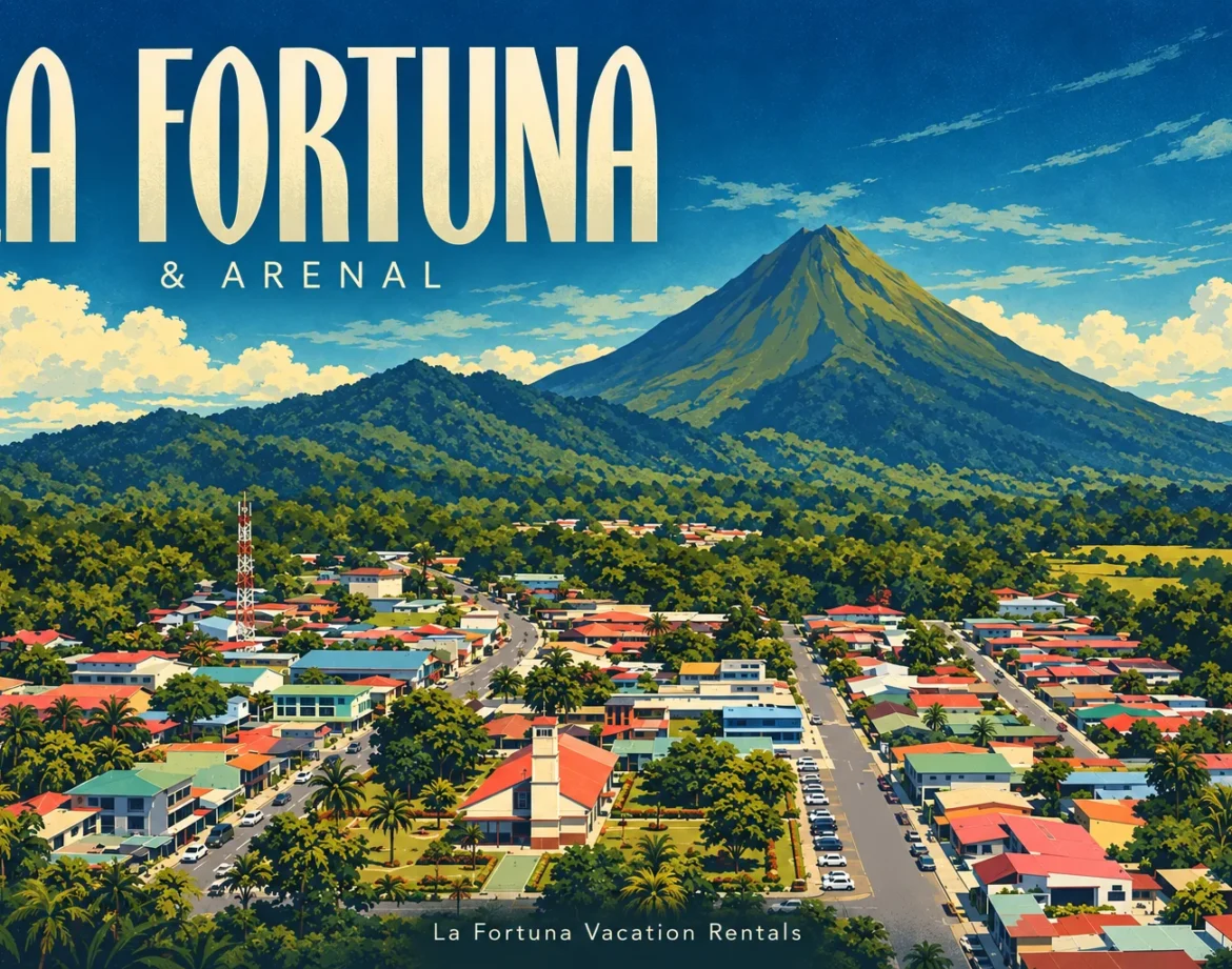
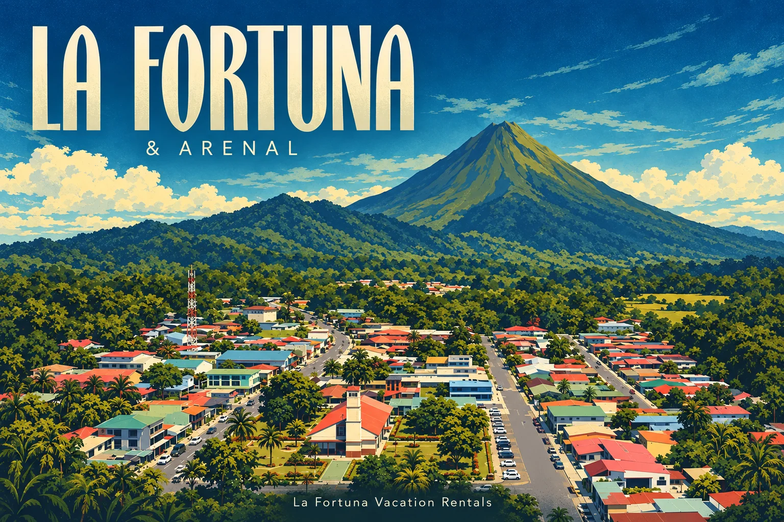
La Fortuna is the main visitor base for the Arenal area. But picture a town connected by roads to nature attractions, rather than a beach town where you walk out of the center and straight onto the sand. The volcano, the national park entrance and downtown La Fortuna are three different places.
La Fortuna town vs. Arenal: what the names mean
La Fortuna town is the practical center for restaurants, shops and everyday services. When someone says “downtown La Fortuna,” they generally mean the streets around the central park and church.
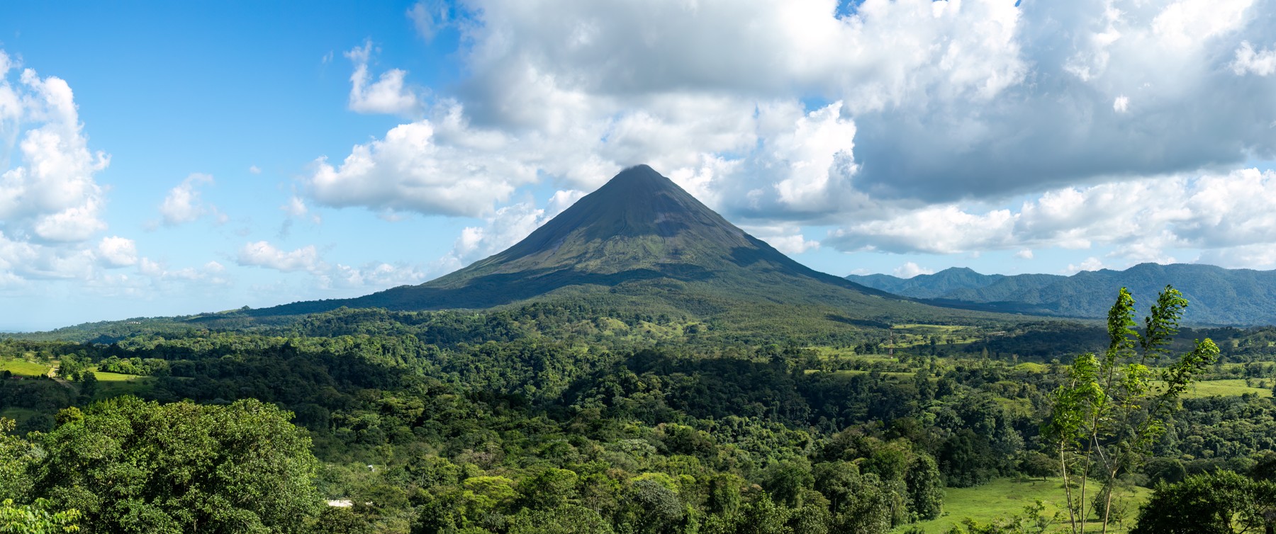
Arenal Volcano is the mountain you hope to see on the horizon. A view of its cone does not mean you are at the national park entrance, and a listing described as “near Arenal” does not necessarily mean it is walkable from town.
The Arenal area is a broader travel destination. Accommodation and activities are spread around the volcano, along the road toward the lake and in surrounding communities. Costa Rica’s tourism board groups La Fortuna and Arenal together as a destination in the Northern Plains; that does not make every address equally close to the center.
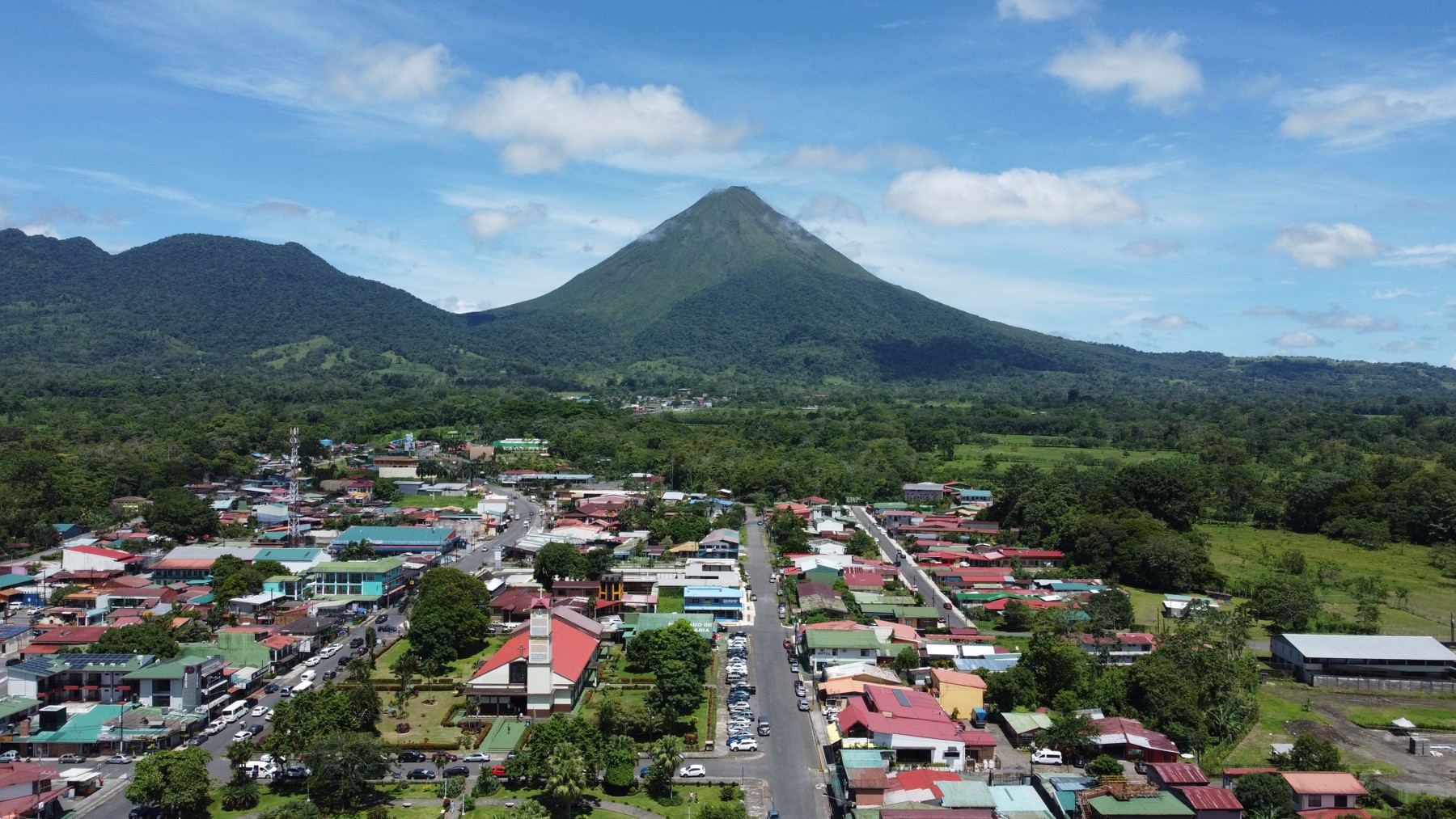
How far is La Fortuna from Arenal Volcano National Park?
The official SINAC/ICT park brochure places the official entrance approximately 16 km (10 miles) northwest of central La Fortuna. Treat that as a general location reference. The road distance in your navigation app depends on your starting point and the park sector you select.
For day planning, allow about 30 minutes each way from the town center, then add time for parking and admission. Check the actual route before you leave. A villa outside town may have a different journey even when its address includes “La Fortuna” or “Arenal.”
- Town center to park entrance: a road journey. Use the official entrance as your destination.
- Town center to the volcanic cone: a geographic measurement, not a drivable route.
- Entrance to a viewpoint: part of your park visit, with additional walking time.
- Entrance to the summit: not a visitor route. Do not plan a summit climb.
A straight-line distance on a map can make the volcano appear much closer than the road journey suggests. For a useful travel estimate, compare door-to-entrance driving directions, not a pin dropped on the mountain.
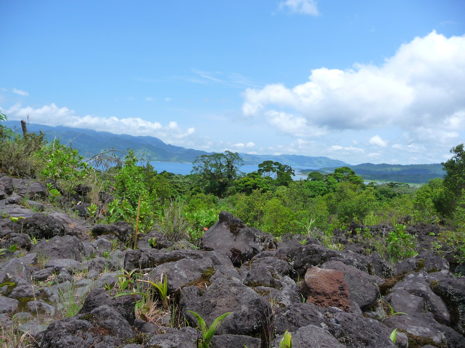
Why you cannot walk from downtown straight onto the volcano
Arenal is a protected volcanic landscape, with designated visitor areas and restricted terrain. SINAC’s official access guidance prohibits climbing the volcanic cone. Visiting Arenal means using authorized trails and viewpoints, not walking from town to its crater.
The University of Costa Rica’s Red Sismológica Nacional describes a marked decline in eruptive activity during 2010 and a resting phase from 2011. A quieter phase does not turn the summit into a tourist trail. Follow current park notices and staff instructions.
The practical lesson is simple: reserve transport time between town, your accommodation and each attraction.
Find your bearings: six La Fortuna and Arenal landmarks
These places are spread across the area, rather than grouped around one walkable attraction. Use this map for orientation, then open each place separately for directions from your accommodation.
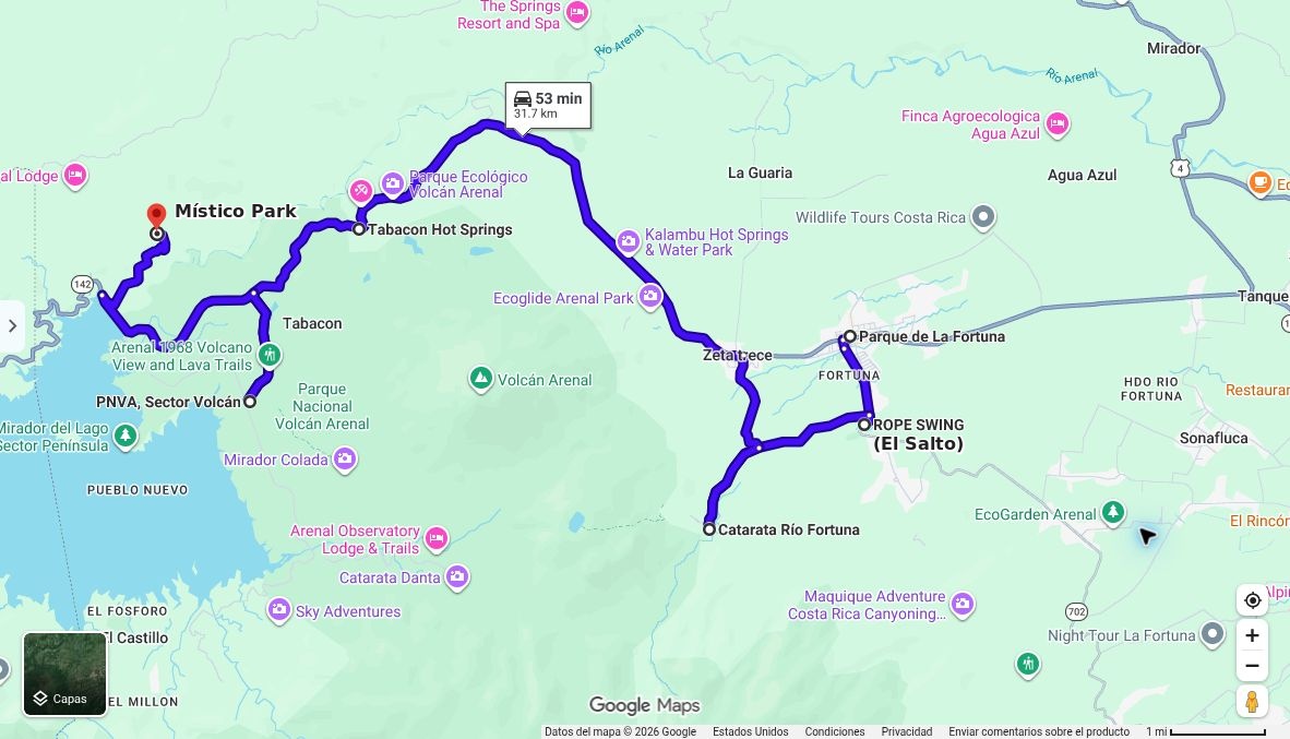
- La Fortuna town center: the central park and church are useful landmarks for downtown restaurants and services. Open central park in Google Maps.
- El Salto: south of downtown; Google Maps labels the river-side point “ROPE SWING.” Open El Salto in Google Maps.
- La Fortuna Waterfall: a separate outing south of town, not inside Arenal Volcano National Park. Use the waterfall operator’s directions to confirm visitor access. Open La Fortuna Waterfall in Google Maps.
- Tabacón Hot Springs: along the road toward the volcano and lake. Select the hot springs location, rather than assuming your destination is the hotel reception. Open Tabacón Hot Springs in Google Maps.
- Arenal Volcano National Park: the map marks the public Sector Volcán visitor entrance, labeled “PNVA, Sector Volcán,” not the summit or a private reserve. Directions to the park entrance.
- Místico Park: the hanging-bridges destination toward Lake Arenal, marked by the red pin. Open Místico Park in Google Maps.
This is an orientation map, not a suggested one-day itinerary. The blue line connects all six locations; the displayed driving time covers that multi-stop route only and excludes visits. Check current directions and each attraction’s access information before setting out.
Where to stay: downtown convenience or a quieter setting?
Stay near the center if walking to dinner matters
If you want to choose a restaurant on foot or pick up groceries easily, check how close the property really is to downtown. Ask about the walking route as well as the distance. You will still need a transport plan for the national park and other outings.
Stay outside town if space and surroundings come first
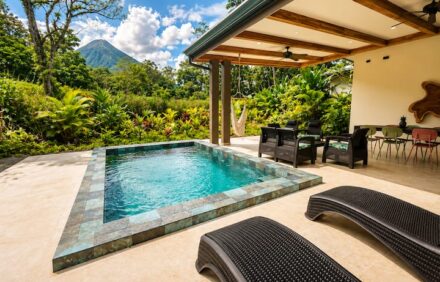
A quieter vacation home can work well when you prefer relaxing between activities. Before booking, compare its actual location with the places you intend to visit. A volcano view, a short drive to the park and a short walk to restaurants are different features; one does not guarantee the others.
Browse our La Fortuna vacation rentals and check each home’s location and amenities. If you are unsure which setting fits your trip, ask our local team about the address and transport options before booking.
A simple way to plan your Arenal visit
- Start with your accommodation pin. Do not use “La Fortuna” as a substitute for the exact address.
- Select the attraction’s actual entrance. Confirm whether your booking is for the official national park or a separate private reserve.
- Leave room for the journey. Budget approximately half an hour from downtown to the park, plus check-in and parking.
- Arrange the return trip. If you are not driving, confirm pickup details with your transport provider.
- Keep the day realistic. Walking time, meals and breaks belong in the schedule too.
For trail choices and what to bring, read our Arenal Volcano National Park visitor guide. This article helps you understand the layout; that guide helps you plan the park visit itself.
Frequently asked questions
Are La Fortuna and Arenal the same place?
They are closely connected travel names, but La Fortuna is the town and Arenal is the volcano. “Arenal” can also refer broadly to the surrounding tourism area. Always check the exact address.
Is La Fortuna the closest town to Arenal Volcano?
La Fortuna is the main visitor base for an Arenal trip. Calling it the absolute closest settlement is less useful: that depends on which part of the volcano or park you measure to, and whether you mean a road route or a straight line.
Can you see Arenal Volcano from La Fortuna?
There are volcano-facing views in the La Fortuna area, but buildings, vegetation and clouds can block them. Check the specific viewpoint or property photos rather than assuming every room or street has a clear view.
Is the park entrance about 30 minutes from downtown?
Yes, about 30 minutes is a useful planning estimate. Check your exact starting point, selected entrance and current road conditions, and allow extra time rather than treating it as a guaranteed arrival time.
Can you hike to Arenal’s summit?
No. Visitors must stay on authorized routes. A volcano hike should mean a permitted trail or viewpoint experience, not access to the cone or crater.